
Resources for schools
We support teaching in the classroom and in the field by providing high quality geographical teaching and learning resources.
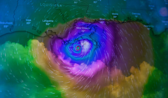
Is weather becoming more extreme?
It is common in news articles, when a weather event has taken place, that the phrase ‘extreme’ weather be used. But is the weather becoming more extreme?
Refine Search

Power of maps
A resource supporting our School Member Lecture ‘Power of Maps’ presented by Professor James Cheshire from UCL.

Careers with Geographical Information Systems
Activities to provide students with a good idea of what GIS is and how it is applied in the real world.

The beauty of Earth Observation in geography with Dr Fleur Visser
Dr Fleur Visser talks about Landsat, Aster and Sentinel data for Earth Observation in geography

Do you know what the Countryside Survey is?
Dr Lisa Norton explains
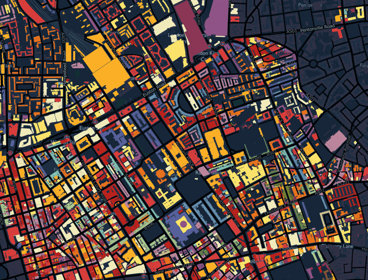
Colouring London
Colouring London aims to collect information on every building in London, to help make the city more sustainable.
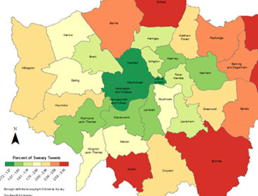
Digital mapping
Ed Manley, PhD Student, University College London
Why the future of geography is cheap
Written by Dr Jon Reades, Department of Geography, King's College London

An introduction to Geographical Information Systems (GIS)
People, places and population change
ArcGIS Posters
Written by Philip Monk.

Free GIS and maps for fieldwork
Supporting high quality fieldwork using free maps and GIS from the internet

Google Earth as a fieldwork tool
Google Earth, the free to download satellite imagery package from Google provides an excellent starting point for students to organise and present their fieldwork data

Data Skills in Geography – Useful Links
A selection of useful links to support the teaching of data skills in geography
Join as a School Member
School Members have access to a huge range of additional resources, online lectures and more

Not sure if you're a Member?
If you are a student and not sure if your school is a School Member of the Society, please email education@rgs.org with your school name and postcode. If your school is a Member we will email you a login and password to access our resources.
