

Integral to any study of risk in the human and physical worlds are the geographical concepts of place, space and scale. It is important to understand the spatial patterns of risk (where the risk is), the scale of the risk (how big is the risk and how bad the effects might be) and the influence of place on risk (what physical and human characteristics make a location risky). Geographers are by no means the only people interested in this. Businesses such as insurance companies, governments, environmental agencies and planners also analyse risk in the world, often with the aid of GIS. The purpose of this module is to explore the world of risk from a personal scale to a global scale. The media can seem full of stories about how we are at constant risk from crime, natural disasters, climate change, international terrorism and global epidemics. But who in the world is most at risk from natural or human disasters and is it possible to manage these risks/hazards?
Starting with the local area and looking at neighbourhood statistics pupils compare their level of risk of being a victim of crime or being involved in an accident compared to regional of national figures. The students may already have personal experiences of these which they can discuss or map. The module then puts this into global perspective by looking at how mortality risk is distributed globally. These spatial patterns, distributions can be described, analysed and often explained by reference to social, economic, environmental and political processes. In some areas of the world people are exposed to greater risk or are more vulnerable to risks than others owing to a combination of these processes. For example, large populations in parts of Asia are most at risk from cyclones and storm surges owing to climate change and rising seas. The future aspect of climate change and understanding that the physical and human dimensions of the environment are interdependent through environmental interaction and sustainable development is essential in helping students to understand the need to participate in informed and responsible action to mitigate against these risks as global citizens.
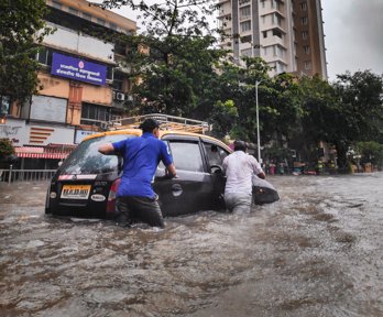
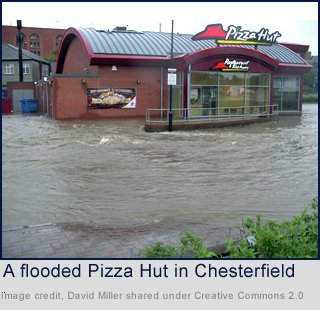
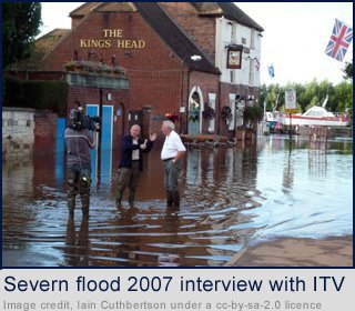
Zooming back to the national scale and with particular reference to the recent and widespread fluvial flooding experienced, the UK is considered as a risky place. Students consider the causes, effects and whether they are at risk in the future. New Orleans has long been known to be at high risk of devastation by hurricanes but when Katrina hit some people believe poor management of the risk led to some vulnerable groups being affected much worse than others.
Carrying on the theme of hazard risk management through the module students then consider whether much larger scale events with international impacts such as the Indian Ocean Tsunami could be managed more effectively. The module ends by considering why populations of countries at different states of development are disproportionately at risk and why within countries certain vulnerable groups are often most at risk form natural and human events.
Is our local area a risky place?
Are some places riskier than others?
How risky is it to live in the UK?
To what extent are some hazard risks made greater by humans?
Can all hazard risk be managed? (one)
Can all hazard risk be managed? (two)
Does location affect how hazard risks are managed?
Assessment
Am I a global citizen? Areas at risk from natural hazards
An interactive resource looking at areas at risk from natural hazards