Other sources of GIS careers information
From the Royal Geographical Society

Professional interest talks on demand
Explore our diverse collection of event recordings, talks, and podcasts picked out for professionals.

Use geography: webinars and resources
A webinar and resource series helping geographers and geography students find out more about the many career opportunities opened up by studying geography.

Professional Ambassadors
Share your insights and expert knowledge at schools and universities.
Podcasts
Online Lectures
Please be aware that some of these lectures are open to RGS-IBG members only. Find out more about joining at www.rgs.org/joinus
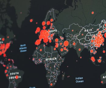
Disaster risk in the humanitarian sphere: what about information management and mapping?
This panel brings together four experts in the field of humanitarian information management to discuss where IM and GIS can provide clarity in evolving situations.
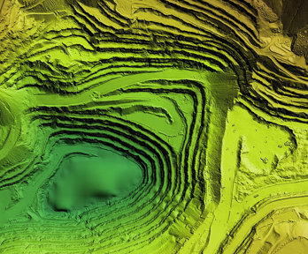
The growth of GIS: a personal journey
This lecture will focus on the development of the capabilities of GIS and its use across society over the last 30 years, tied into Charles’ own experiences from a GIS developer to CTO of ESRI UK.
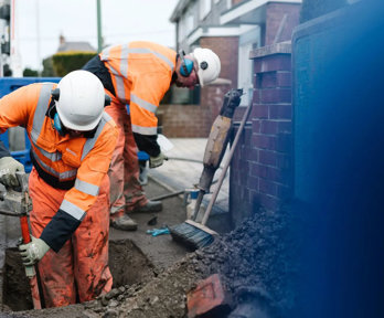
Mapping underground Infrastructure through the National Underground Asset Register (NUAR)
This webinar will showcase how NUAR is set to revolutionise the way we manage underground infrastructure in the UK and its impact upon planning and land management by giving users access to data from all asset owners in a matter of second rather than days.

Using GIS to survey habitats and measure improvements for Biodiversity Net Gain
Over the past year, data management firm EcoSpatial Solutions has been working with the Canal & River Trust to gather baseline data and measure improvements in biodiversity net gain (BNG) accurately in England and Wales.
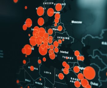
The art and science of geovisualisation for disaster risk management
Join us for a Disaster Risk Management Professional Practice Group lunch time webinar to explore how geovisualisation is applied in disaster risk management.
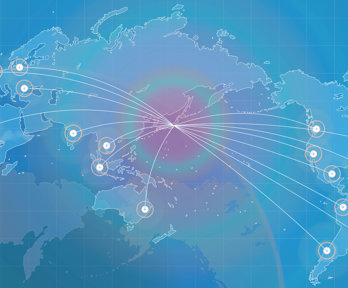
Professional insights: geovisualisation
What makes a good geovisualisation? How do you get started? What are the things to watch out for?

Feminist theory and Geographical Information Systems - Anwen Davis
This talk explores key elements of feminist geographical thought and how these theories can be adopted and used in collaboration with GIS. This talk was given by Anwen Davis GIS Analyst, Atkins Global.

Where’s the harm? Geospatial data ethics in practice
Earlier this year, the Locus Charter was launched, proposing a set of shared international principles to support responsible practice with location data. But how do you put ethics into practice in your day-to-day work?

The United Nations and global geospatial information - James Norris
The United Nations has a role to shape and guide the geospatial information landscape and to provide geospatial data and tools for UN agencies to use.

What is customer loyalty worth? My career in data science - Edwina Dunn
Edwina co-created dunnhumby which launched and ran Tesco Clubcard for 15 years. She will share the story of how she and her partner pioneered data science, customer targeting and geospatial analysis.

Disruptive geographers: big data and flood risk modelling - Professor Paul Bates
Paul will examine developments in flood risk modelling, which has long been dominated by engineers and mathematicians, and show how Geographers and their technologies have challenged and disrupted traditional approaches to understanding floods.
Impact case studies
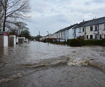
Climate Just: shaping more socially-aware responses to climate change
Research has developed map-based evidence of social vulnerability to climate change.
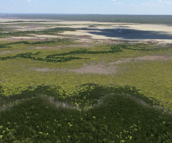
Global mangrove watch: informing public policy for the conservation and protection of mangrove forests
Research has mapped the global extent of mangroves.

Using GIS to cut down on fatbergs and flooding in the Thames Valley
Thames Water used GIS to trace the sources of “fatbergs” and promote better oil and grease disposal
RGS-IBG YouTube video: Use Geography: careers in mapping, GI and data science
Geography Directions blog
GIS Teaching Resources
Other sources of information
Esri – careers in GIS
Esri – what is GIS showcase (examples of how GIS is used in the ‘real world’).
Careers with GIS video from Esri UK
Esri UK
Ordnance Survey GIS activities
Ordnance Survey – use of data in the ‘real world’
Prospects job profile: GIS Officer
Time for Geography: Careers with GIS and Geography
National Careers Service- Geospatial Technician
National Careers Service- Land Surveyor
National Careers Service - Cartographer
