Activity: Geography superheroes
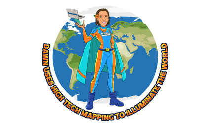
- Introduction to Dawn Wright, a geographer, oceanographer and Chief Scientist of Esri who maps ocean floor
- Create your own GIS superhero
Timings: Up to 45 minutes (could be made into a 5 min start or plenary)
Head to the Society’s Geography Superhero resource
You will find a superhero - Dr Dawn Wright. Dr Dawn Wright is a geographer, oceanographer and Chief Scientist of Esri. She tweets at @deepseadawn.
You can read more about Dawn and her job on the Esri website
Read more about Dawn’s work:
- Meet the marine geologist mapping the deepest point on Earth
- ‘We’ve got to help the oceans to help us’: Q&A with deep-sea explorer Dawn Wright
- How A Scientist Overcame Challenges To Be A Global Ocean Expert
The articles above tell us more about Dawn’s job as a GIS expert mapping ocean floors.
Dawn made history as the first Black woman to descend more than 35,000 feet down to Challenger Deep, a region of the Mariana Trench in the western Pacific Ocean and the deepest known point on the planet. From the submergence vehicle, Dawn shot video, took water samples, and made observations of local biology like jellyfish, shrimp-like crustaceans known as amphipods, as well as plant-like colonies of animals called hydroids. During this journey, Dawn was able to create detailed contour maps of the ocean trench that will be used to help scientists understand our planet.
Students should read the articles above and think about how Dawn’s geographical knowledge and expertise is used during her career. How does Dawn’s work have an impact in the ‘real world’?
Dawn could be used as an example (start or plenary activity) of how GIS can be used to contribute to our knowledge about the world. Dawn’s work is being used to contribute to our understanding of climate change, ocean currents and more, so would be ideally placed to accompany a lesson about oceans / ocean currents / pollution in the oceans.
Taking it further
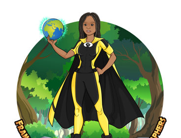
You might like to take Dawn’s superhero example and ask students to design their own superhero character linked to the use of GIS. Students should this about how GIS is applied in the ‘real world’, what types of geospatial data is collected and used, and in what employment sectors GIS is used as a tool (insurance, hazard management, transport planning, urban planning, retail etc). Students should also be encouraged to think about the geographical skills that a superhero who works with GIS might have (data analysis, ability to see the ‘big picture’, able to see connections between geographical concepts, map skills etc). These superhero designs could be used to create a classroom or corridor display or during a careers event.

File nameFiles
File type
Size
Download
