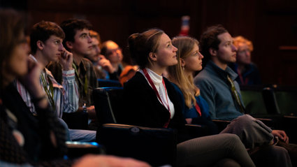
What's on
Browse our in-person and online events, including our Monday night lectures, regional events and teacher CPD sessions. You can also watch a selection of our past talks.
Find an event
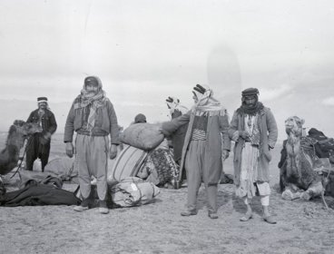
Routes, ruins and reconnaissance
The Society is delighted to present an exhibition created in conjunction with Newcastle University on the life and career of Gertrude Bell FRGS.

Professional Pathway introductory webinar – August
Join this webinar to learn more about the Professional Pathway. We will discuss the programme’s framework, highlight key professional development activities and guide you through the application process.
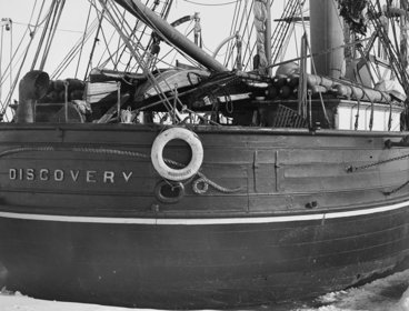
Discovery 125 Anniversary celebration
Join the Society to mark the 125th anniversary of Captain Scott’s British National Antarctic Expedition (1901–1904), the Discovery expedition, departing British waters for Antarctica.
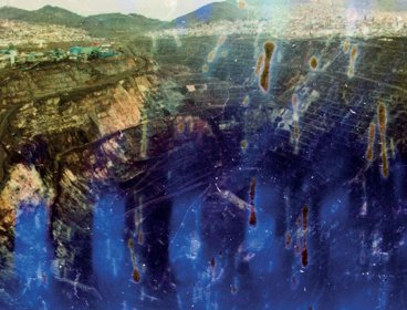
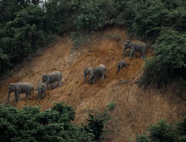
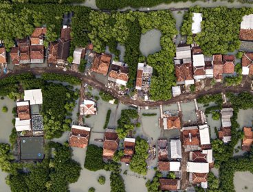
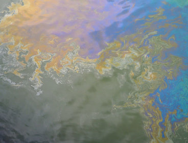
Earth Photo: Canwood Gallery
Visit Canwood Gallery to see a stunning selection of shortlisted images from this year's Earth Photo competition.
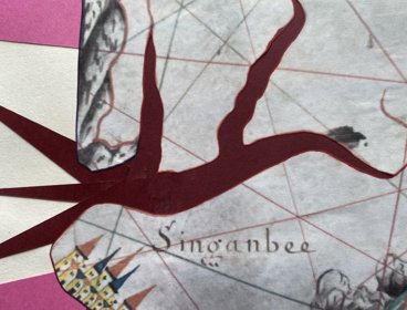
Skin maps: semi-permeable cartography, guided exhibition tour - 11 August
Visit the Director's Gallery exhibition of Steph Morris' 'Skin maps: semi-permeable cartography.' Attendees will get to see the maps which inspired the art and be guided through the exhibition by the artist.
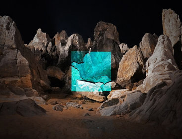
Earth Photo: Chester Zoo
Visit Chester Zoo to see a stunning selection of shortlisted images from this year's Earth Photo competition.
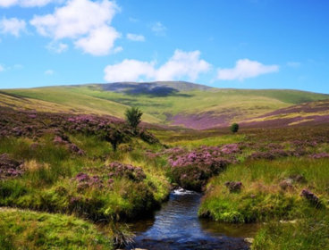
100 year vision: a visit to Skiddaw Forest
A guided tour of the ambitious nature recovery plans for Skiddaw Forest currently being implemented by Cumbria Wildlife Trust.
Earth Photo: Mount Ephraim Gardens
Visit Mount Ephraim Gardens to see a stunning selection of shortlisted images from this year's Earth Photo competition.
Earth Photo: Castle Ward
Visit National Trust Northern Ireland Castle Ward to see a stunning selection of shortlisted images from this year's Earth Photo competition.
Earth Photo: Erddig Hall
Visit National Trust Erddig Hall to see a stunning selection of shortlisted images from this year's Earth Photo competition.

Meera Syal: Vigilauntie!
Dame Meera Syal joins us to share the hilarious and heartwarming true stories that have shaped her life and work as one of Britain’s most beloved comedy legends.
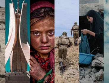
The making of the modern Middle East - Simon Sebag Montefiore
A spellbinding new history of how the Middle East of 1900 became the Middle East of today… and tomorrow.