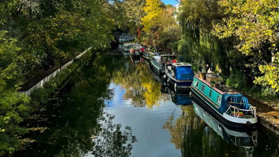
Over the past year, data management firm EcoSpatial Solutions has been working with the Canal & River Trust to gather baseline data and measure improvements in biodiversity net gain (BNG) accurately in England and Wales.
The trust has committed to survey the condition of existing habitat on its waterways and develop a management plan for optimum nature conservation value, such as species richness, biodiversity and abundance, while considering the constraints of the other waterway uses and activities.
With the new BNG framework in mind, the trust has an opportunity to discuss enhancements on its land with partners that want to make habitat improvements off site.
It was therefore decided to build a GIS tool that would map the whole network using geospatial information to establish a baseline and then continuously track biodiversity. In the long term, this GIS tool must enable the trust to identify BNG and other ecological-funded projects that receive funding from developers and others to offset habitat destruction.
It also has to store information about landownership related to these projects and allow the automatic submission of changes to the baseline that occur when any type of work is carried out such as repair of a lock.
This is a joint event with the Royal Institute of Chartered Surveyors (RICS), Canal & River Trust and Ecospatial Solutions.
About the speaker
Katie Dawson - Co-Founder and Technical Director at Ecospatial Solutions.
- Non-Society event

Hamlyn symposium on medical robotics 2026
The Hamlyn Symposium unites global experts to share innovations, foster collaboration, and advance medical robotics through workshops, demonstrations and networking.
LondonProfessionals23 Jun 2026 - 26 Jun 2026 - Webinar

What do geographers actually do? A webinar for students
A student webinar showcasing the variety of careers pathways available with geography. This webinar focuses on the business and finance sector.
OnlineTeachersTuesday 23 June 2026 - Webinar

Use geography: careers in policy
In this lunchtime webinar learn from geography professionals with careers in policy.
OnlineProfessionalsWednesday 24 June 2026