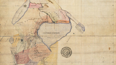
Maps and mapping play a central part in many expeditions. They help participants to plan and to plot where they’ve been. Explorers also produce their own original maps and we have an extensive collection of these in our library at the Society.
This talk will discuss such maps with a special emphasis on the collaborative effort that goes into creating them, an effort that often included Indigenous peoples. It asks what stories we can and should tell with explorers’ maps?
- Lecture
The secret history of Britain's footpaths
How old are our footpaths? Where do they lead? What are their stories? Why do they matter more than ever before? Join author Nicholas Crane for a coast-to-coast hike, from the Cairngorms to Cornwall, in search of the internet of feet.
StamfordOpen to allWednesday 10 June 2026 - Lecture

Visitor access and transport in the National Park: cracking an age-old problem?
Please note that this event has been postponed until autumn 2026.
AmblesideOpen to allWednesday 10 June 2026 - Discussion
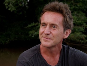
RGS Presents: The Future of Exploration Live with Bruce Parry
Join Matt Pycroft in conversation with explorer Bruce Parry for the opening episode of The Future of Exploration podcast. Known for his immersive work with indigenous communities, Bruce brings a deeply human perspective to how exploration is changing in today’s world.
London and onlineOpen to allMonday 15 June 2026