
Digital twins are data models of places, systems or even a product, bridging the physical and digital domains. It's a technology in use today across multiple sectors.
Geography often lies at the core of these models with many digital twins used to test and explore real-world geographical issues. As the technology develops, considerations around data access, safe and ethical data sharing, standards and interoperability are central to realising the social, environmental and economic benefits offered by a data-enabled ecosystem.
For Ordnance Survey, we recognise that as national mapping service for Great Britain we have a role to play in supporting the integration of geospatial data with digital twins to help drive innovation and market growth, as well as help improve infrastructure management and understanding of risks.
Join us as we explore what makes a digital twin, the challenges and opportunities they present, and examine case studies which demonstrate how data and technologies are used to simulate and accurately represent the real world, transforming industry and government, providing deeper insights and enabling proactive decision-making.
Speaker topics
- Adrian Walker - A true partnership: City of Bradford Metropolitan District Council and the University of Bradford working together to achieve common goals and aspirations to create a digital urban twin of Bradford and beyond.
- Laura Pullen - Nottingham’s urban 3D digital twin.
About the speakers
Adrian Walker has been employed within a Local Planning Authority since 1985, gaining knowledge/experience of the opportunities/issues/problems associated with Local Authority Planning projects. Adrian leads the rebuilding of the Corporate GIS Spatial Platform for the City of Bradford Council Metropolitan District Council, including a successful web-environment.
He began his first formal training in GIS in 1996, culminating in a successful MSc. in GIS (graduation in 2008). Adrian's role throughout his career has been as an 'enabler', providing technical solutions to problems/work related issues within the Local Authority.
Laura Pullen is a GIS Manager at Nottingham City Council, where she supports geospatial projects across the full spectrum of unitary local authority responsibilities. She enjoys working with customers and partners to understand and translate operational and strategic business requirements into successful projects, delivering high quality outputs including spatial analysis, online application development, 3D and other cartographic products.
- Webinar
CGeog application accelerator for GGP
A four-week accelerator programme specifically designed to support Government Geography professionals and public sector employees, helping you focus your efforts and effectively prepare your application for Chartered Geographer.
OnlineOpen to all30 Apr 2025 - 21 May 2025 - Webinar
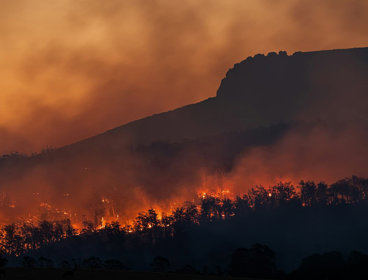
Digital twins for climate resilience
The Society and Ordnance Survey are collaborating on a luhctime webinar series focusing on digital twins. This session will be focussed on digital twins for climate resilience.
Open to allWednesday 30 April 2025 - Webinar
Chartered Geographer introductory webinar - May
Join this webinar to learn more about the benefits of becoming a Chartered Geographer.
OnlineOpen to allWednesday 7 May 2025